
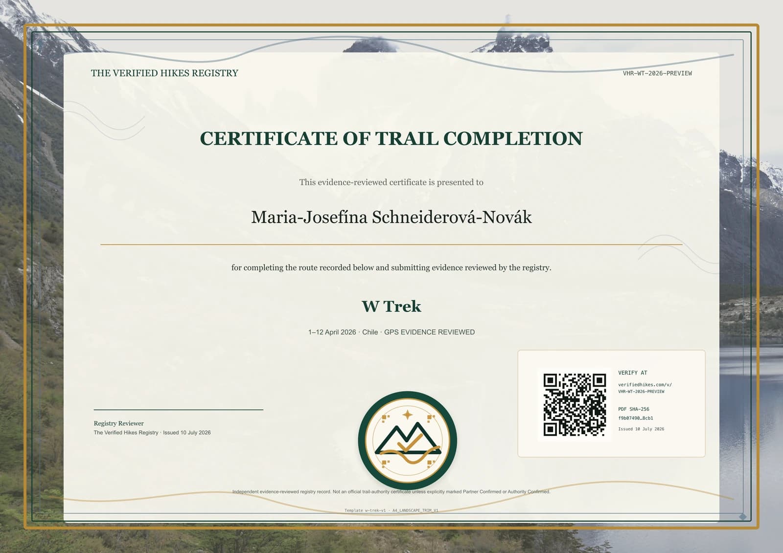
W Trek Completion Certificate
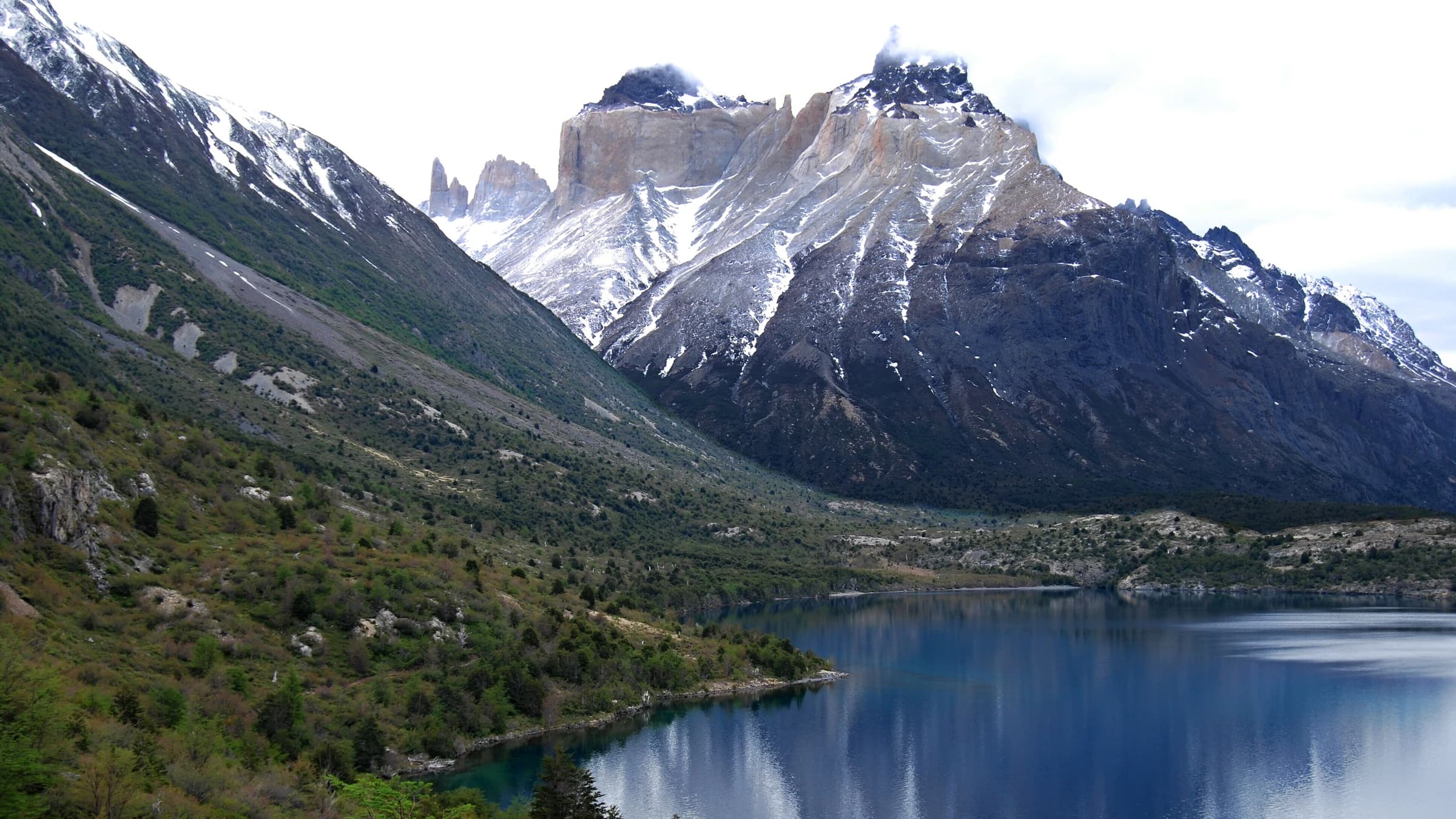
The W Trek connects the major valleys and viewpoints of Torres del Paine in a route whose order, camps, boat connections, and weather decisions vary by booking plan. A useful record should show the valleys and endpoints actually completed rather than rely on a single towers photograph. Daily GPS activities, dated landscape images, campsite or refuge bookings, and a concise itinerary can establish progression and explain boat or shuttle links. Strong wind, closures, and reservation constraints may change a day without making the wider record incoherent. The certificate uses the granite horns, lake, and Patagonian colour of the park landscape while remaining independent of Chilean authorities. GPS tracks, bookings, original photographs, and private travel details stay within authorised review. The public record presents only safe conclusions.
This is an independent evidence-reviewed Verified Hikes certificate. It is not an official trail authority certificate unless explicitly marked as partner-confirmed or authority-confirmed.
Currently invite-only
We open verification places gradually so every certificate receives careful evidence review.
Join waitlistWhy get this certificate?
Record a completion of W Trek in Chile with private evidence review and a premium QR-verifiable certificate.
Your certificate includes a premium PDF, a permanent QR verification page, registry-signed metadata, and privacy-aware public display settings.
Accepted evidence
Route-matched proof examples
- Daily GPS activities for the completed valleys and connections
- Dated photographs at major viewpoints, lakes, or valley landmarks
- Campsite, refuge, boat, or itinerary records supporting dates
- A narrative explaining direction, weather, closures, and transport links
Best evidence: GPX/FIT/TCX files, a trusted activity link, dated trail photos, stamps, permits, or guide/partner confirmation. Photos alone may need supporting context. Screenshots without route or date detail are usually not enough.
Expected review level: evidence_reviewed. Most beta reviews target 2-3 working days after payment and private proof upload.
Privacy promise: raw GPS, photos, permits, contact details, and reviewer notes stay private. Public verification shows only safe certificate metadata, a short evidence summary, QR link, signature status, and PDF fingerprint.
Refund/clarification summary: if proof is incomplete, reviewers may request clarification before approval. Refund eligibility follows the refund policy and depends on review state.
This is an evidence-reviewed Verified Hikes certificate. It is not an official trail authority certificate unless explicitly marked as partner or authority confirmed.
Trail proof checklist
- GPS track file or activity link where available
- Photos at recognisable route landmarks
- Date range and completion narrative
- Permit, stamp, guide, club, or organiser confirmation where relevant
Distance and route variants are reviewed conservatively. Public pages never publish raw GPS points or private proof files.
Your proof is not your public profile.
GPS and activity files, uploaded photos, permits, stamps, guide confirmations, completion narrative, and clarification replies.
Certificate status, trail, privacy-controlled display name, dates, verification level, issue date, fingerprint, and registry signature state.
Supported route variants
List the valleys and endpoints completed, direction, boat or shuttle connections, weather closures, and omitted arms. Scope follows the documented W itinerary, not a fixed distance.
Distance is shown only when reviewed; otherwise the page uses safe variable-distance wording.
Prepare your proofVerification levels available
Evidence Reviewed, GPS Evidence Reviewed, Photo + GPS Reviewed, and Partner Confirmed when a verified organisation is attached.
Verification levels
Evidence Reviewed Human review of private proof against trail, date, and plausibility signals.
GPS Supported Route evidence includes a GPS/activity record strong enough to support the certificate.
Partner or Authority Confirmed Used only when an approved partner or trail authority workflow explicitly supports that wording.
How the process works
Create a paid application for this trail.
Add GPS, activity links, photos, stamps, permits, or confirmation documents privately.
A reviewer checks evidence, dates, privacy, and verification level.
Receive your premium PDF and QR-verifiable public record.
FAQ
What does the QR code prove?
It opens a safe registry page showing certificate metadata, signature status, evidence summary, and PDF fingerprint.
Will my GPS or photos be public?
No. Raw proof is private by default and available only to authorised reviewers.
Request correction
See outdated trail facts? Send a correction request so the registry team can review the route record before publication changes.
Request correction/update