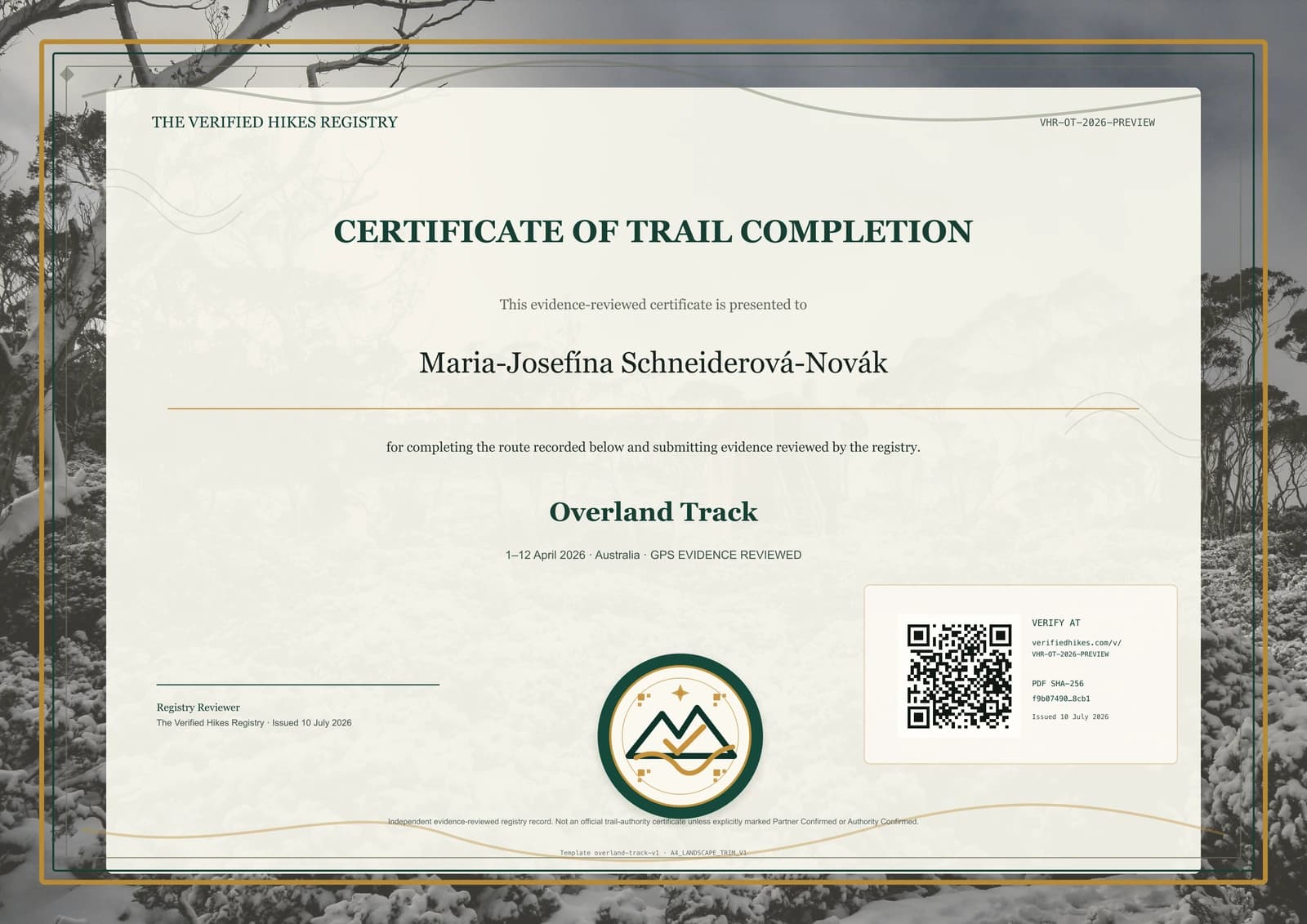
Overland Track Completion Certificate
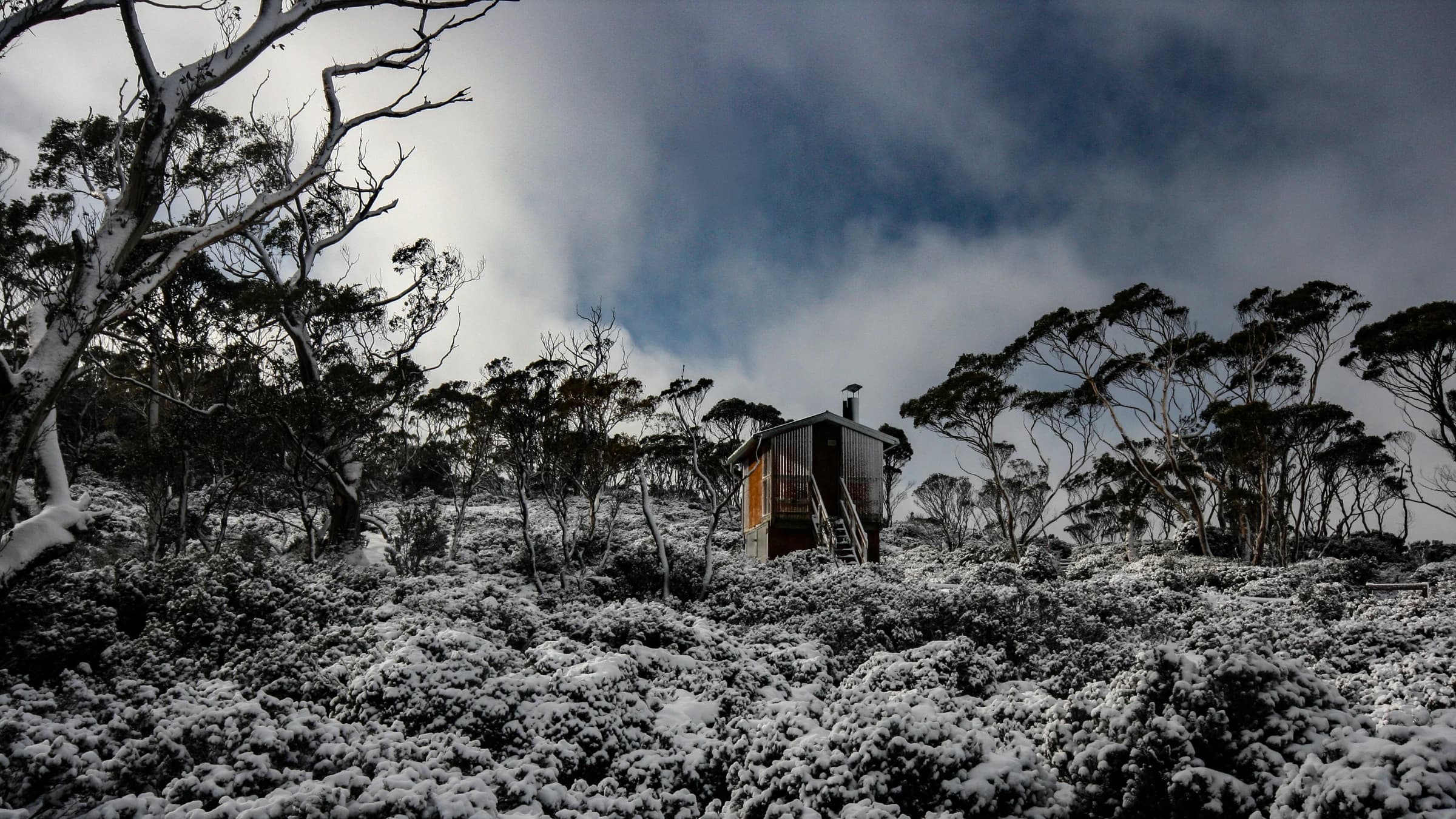
The Overland Track crosses Tasmania's alpine plateau, button-grass plains, forest, lakes, and mountain country, with optional side trips and different exit arrangements affecting each itinerary. Daily activity files can establish the core progression, while dated landscape photographs, hut or permit records, and a narrative explain weather days, side objectives, and transport at the boundaries. State whether the certificate request covers the core track only or includes an extension, and do not fold unrecorded mountain side trips into the main claim. The certificate uses the distinctive Tasmanian alpine landscape to make the record place-specific without copying Parks authority marks. Original permits, GPS routes, hut details, photographs, and sensitive camp or transport information stay in private review. Public verification excludes all precise locations.
This is an independent evidence-reviewed Verified Hikes certificate. It is not an official trail authority certificate unless explicitly marked as partner-confirmed or authority-confirmed.
Currently invite-only
We open verification places gradually so every certificate receives careful evidence review.
Join waitlistWhy get this certificate?
Record a completion of Overland Track in Australia with private evidence review and a premium QR-verifiable certificate.
Your certificate includes a premium PDF, a permanent QR verification page, registry-signed metadata, and privacy-aware public display settings.
Accepted evidence
Route-matched proof examples
- Daily GPS activities along the core track stages
- Dated photographs at huts, plains, lakes, forest, or alpine landmarks
- Permit, hut, or transport records supporting dates
- A narrative identifying side trips, weather days, and the chosen exit
Best evidence: GPX/FIT/TCX files, a trusted activity link, dated trail photos, stamps, permits, or guide/partner confirmation. Photos alone may need supporting context. Screenshots without route or date detail are usually not enough.
Expected review level: evidence_reviewed. Most beta reviews target 2-3 working days after payment and private proof upload.
Privacy promise: raw GPS, photos, permits, contact details, and reviewer notes stay private. Public verification shows only safe certificate metadata, a short evidence summary, QR link, signature status, and PDF fingerprint.
Refund/clarification summary: if proof is incomplete, reviewers may request clarification before approval. Refund eligibility follows the refund policy and depends on review state.
This is an evidence-reviewed Verified Hikes certificate. It is not an official trail authority certificate unless explicitly marked as partner or authority confirmed.
Trail proof checklist
- GPS track file or activity link where available
- Photos at recognisable route landmarks
- Date range and completion narrative
- Permit, stamp, guide, club, or organiser confirmation where relevant
Distance and route variants are reviewed conservatively. Public pages never publish raw GPS points or private proof files.
Your proof is not your public profile.
GPS and activity files, uploaded photos, permits, stamps, guide confirmations, completion narrative, and clarification replies.
Certificate status, trail, privacy-controlled display name, dates, verification level, issue date, fingerprint, and registry signature state.
Supported route variants
Identify core-track boundaries, side trips, weather changes, and the final lake or walking exit used. Optional summits and extensions should be documented separately from the core completion.
Distance is shown only when reviewed; otherwise the page uses safe variable-distance wording.
Prepare your proofVerification levels available
Evidence Reviewed, GPS Evidence Reviewed, Photo + GPS Reviewed, and Partner Confirmed when a verified organisation is attached.
Verification levels
Evidence Reviewed Human review of private proof against trail, date, and plausibility signals.
GPS Supported Route evidence includes a GPS/activity record strong enough to support the certificate.
Partner or Authority Confirmed Used only when an approved partner or trail authority workflow explicitly supports that wording.
How the process works
Create a paid application for this trail.
Add GPS, activity links, photos, stamps, permits, or confirmation documents privately.
A reviewer checks evidence, dates, privacy, and verification level.
Receive your premium PDF and QR-verifiable public record.
FAQ
What does the QR code prove?
It opens a safe registry page showing certificate metadata, signature status, evidence summary, and PDF fingerprint.
Will my GPS or photos be public?
No. Raw proof is private by default and available only to authorised reviewers.
Request correction
See outdated trail facts? Send a correction request so the registry team can review the route record before publication changes.
Request correction/update